
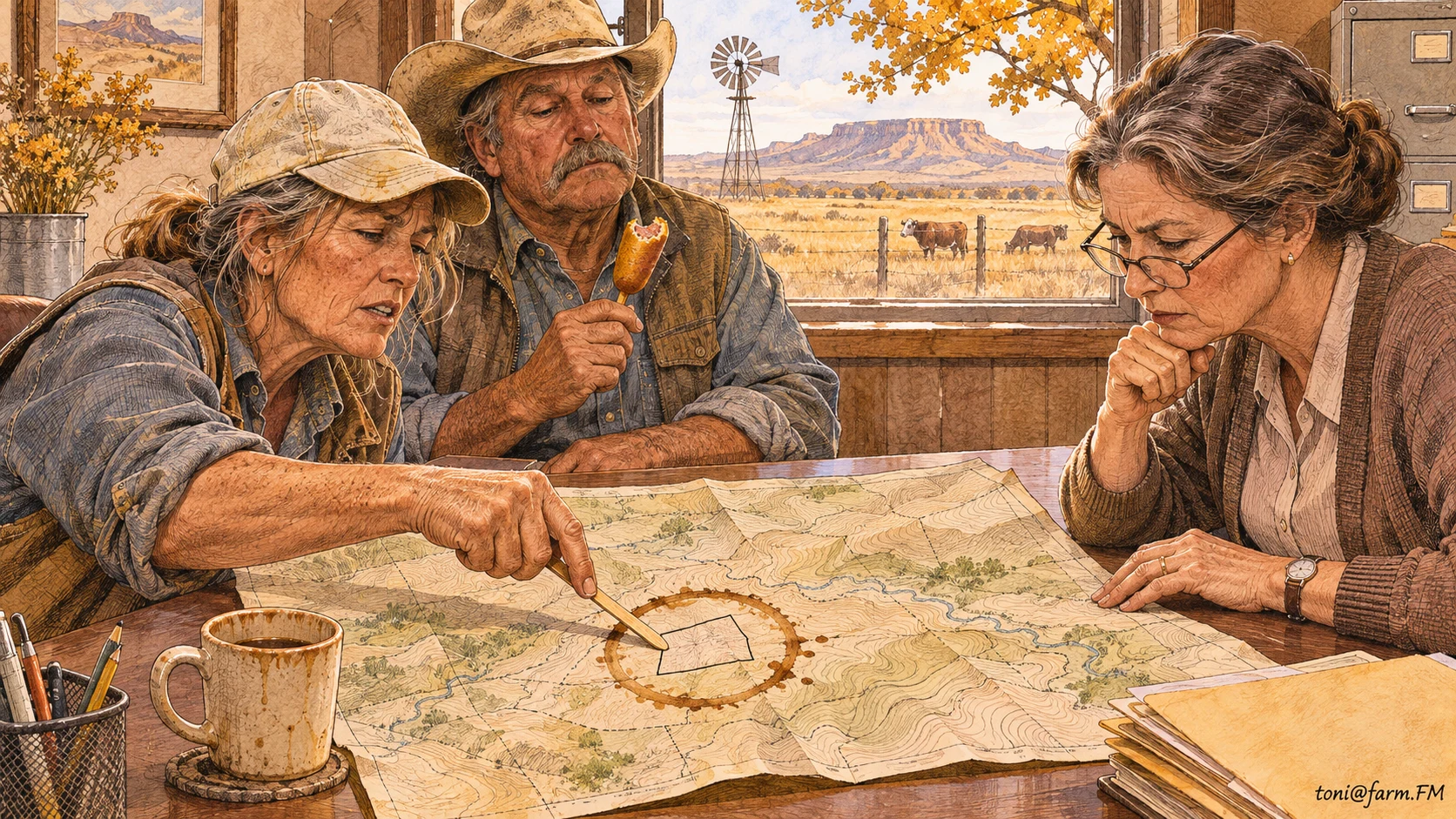
MEMPHIS, Texas — A crop acreage report in Hall County came down to a small triangle of cotton and a corn dog stick. Grower Lorna Beck had brought the stick to point out the triangle. Her husband, Dale, had brought the corn dog and thought the office had a fairly generous policy on lunch.
The employee at the county office asked where the irregular corner began. Lorna put the stick on the map. Dale put his coffee down. Between them they established the location of the field and a second boundary around the part of it that now smelled like hazelnut.
“That one’s dryland,” Lorna said, tapping the first boundary. “The other one’s new.”
The Crop Acreage Report Meets a Road That Wanders
Lorna had been reading Agriculture Policy’s state-by-state farm policy directory to find the right office and check which records she should bring. Dale brought a county map from the glove compartment. It was old enough to show a service station where the service station’s grandchildren now operate a storage business.
The USDA Farm Service Agency’s crop acreage reporting guidance lists details such as the crop, planting dates and a map showing approximate crop boundaries. Lorna had the dates in a notebook. Dale said he distinctly remembered planting the corner on a Thursday because he had planned to replace a faucet that day. Lorna opened the notebook and told him he had planted on Friday. He said that explained why the faucet had taken all week.
The clerk asked if the gravel road was straight from the ditch to the fence. Lorna said the county had built it that way. In the years since, the ditch had made a persuasive case for a slight turn. Dale said he could identify the turn in a photograph if the photograph showed which side of the pickup hit it first.

Dale Measures the Part They Would Have Driven Past
Back at the place, Dale used a pink cloth tape to check the point of the triangle. Lorna asked where he’d found it. He told her the sewing drawer, then offered to put it back before anyone noticed. The dog sat exactly where he needed the tape to lie. By the third attempt, Dale had the corner at seven yards, nine yards and one dog.
Lorna took a picture from the road and added a mark to the field map. She also made a note to ask the local office which map it wanted for the next report. Dale asked if the picture could serve as proof that he had gone out there. She said it might, if he could explain why the dog was the only one in it wearing a tape measure.
The Crop Acreage Report Gets a Copy for the Pickup
When they returned, the clerk compared Lorna’s marked map with the office copy and asked what they intended to do with the cotton in the corner. Dale said the same thing they did with the rest of it, assuming anybody could get a picker into the corner. The clerk said she only needed the intended use. Dale said he appreciated an institution that still took intention into account.
Lorna asked for a copy and put it in a folder with the planting dates. Dale suggested they keep the folder in the glove compartment. She asked him what else was in there.
“Nothing the county would recognize,” he said.
Farm.FM Disclaimer
The world’s oldest tenured professor and a philosophy major turned dairy farmer prepared this account together. The professor proposes submitting the coffee ring as supplemental evidence. The dairy farmer proposes a lid.
Last Updated on November 17, 2026 by Alan Nafzger
If the acreage report requires a corn dog stick, the form has met the fair, and professional resources for women farmers still have to make the numbers add up after the stick.